The site intelligence report
As soon as you pick a location, Airship can produce a site intelligence summary — a fast first appraisal of what sits on and around your site.
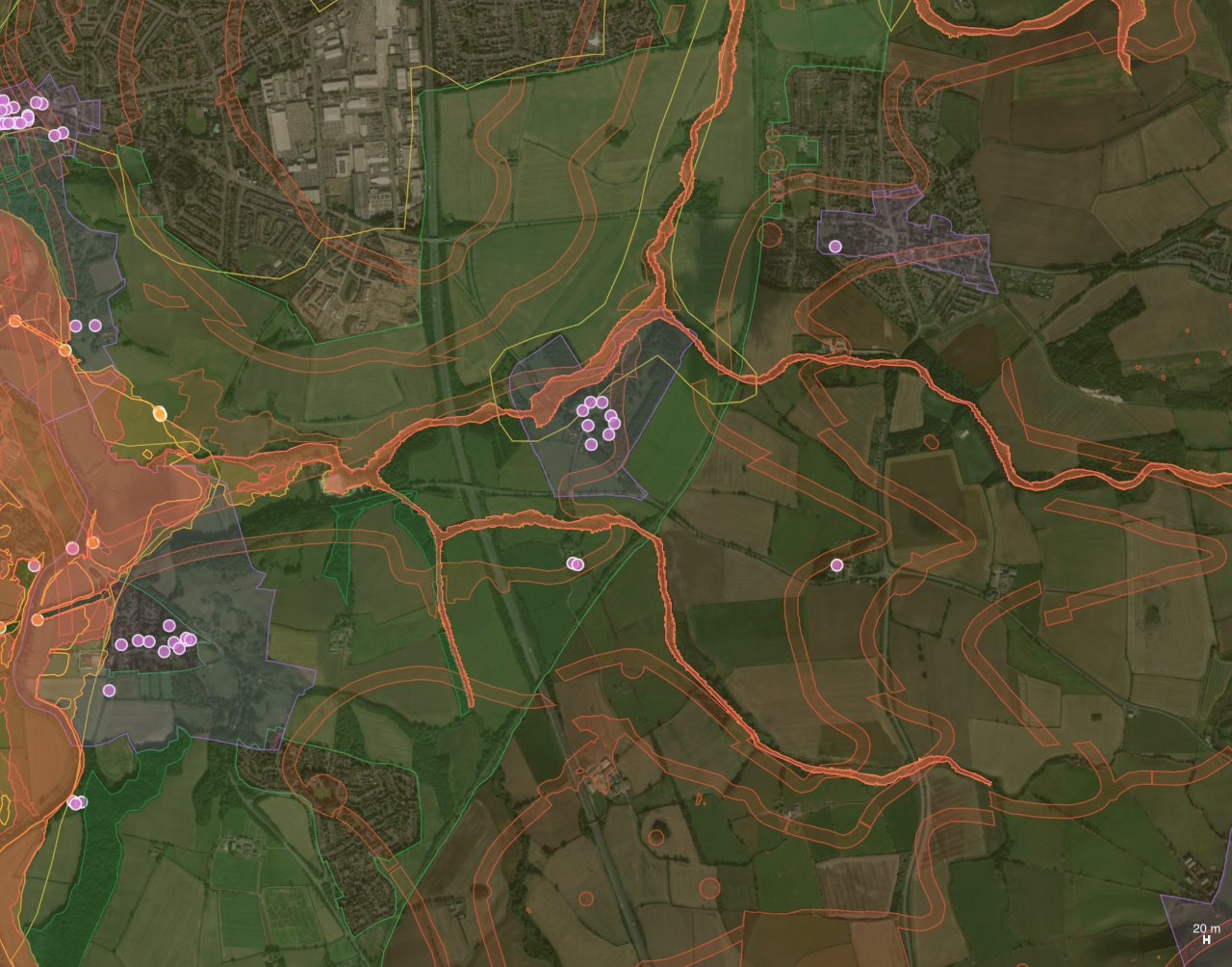
What it reports
- The local planning authority and land-use character.
- Flood-zone status from the Environment Agency.
- Nearby designations — conservation areas, green belt, listed buildings and more.
- Census 2021 population density for the area.
The panel sits in the Site information & stats section and is included on the Site Intelligence page of the PDF report.
Data sources
The report draws on planning.data.gov.uk, the Environment Agency and ONS Census 2021.
Screening data. This is indicative information to inform early design. Always verify with the local planning authority before relying on it. Learn more in our guide, UK planning constraints map.
Try it on your own site
Turn a boundary into an optimised UK layout in minutes — free to start.
Open the app →