2D plan, Sketch & 3D
The same scheme reads three ways. Switch between them in the top bar; each is suited to a different job.
2D plan
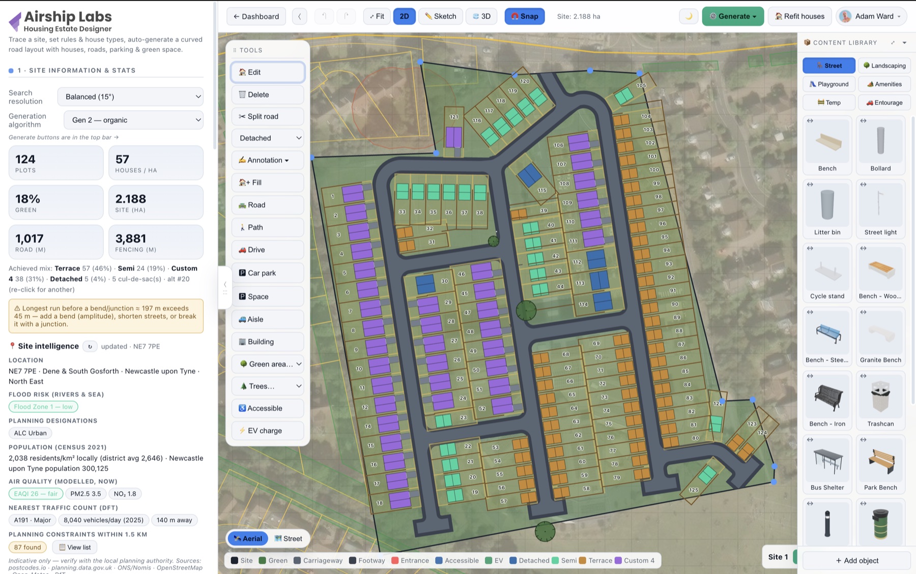
The coloured working view — houses by type, roads, parking, landscaping and annotations. This is where most editing happens.
Sketch
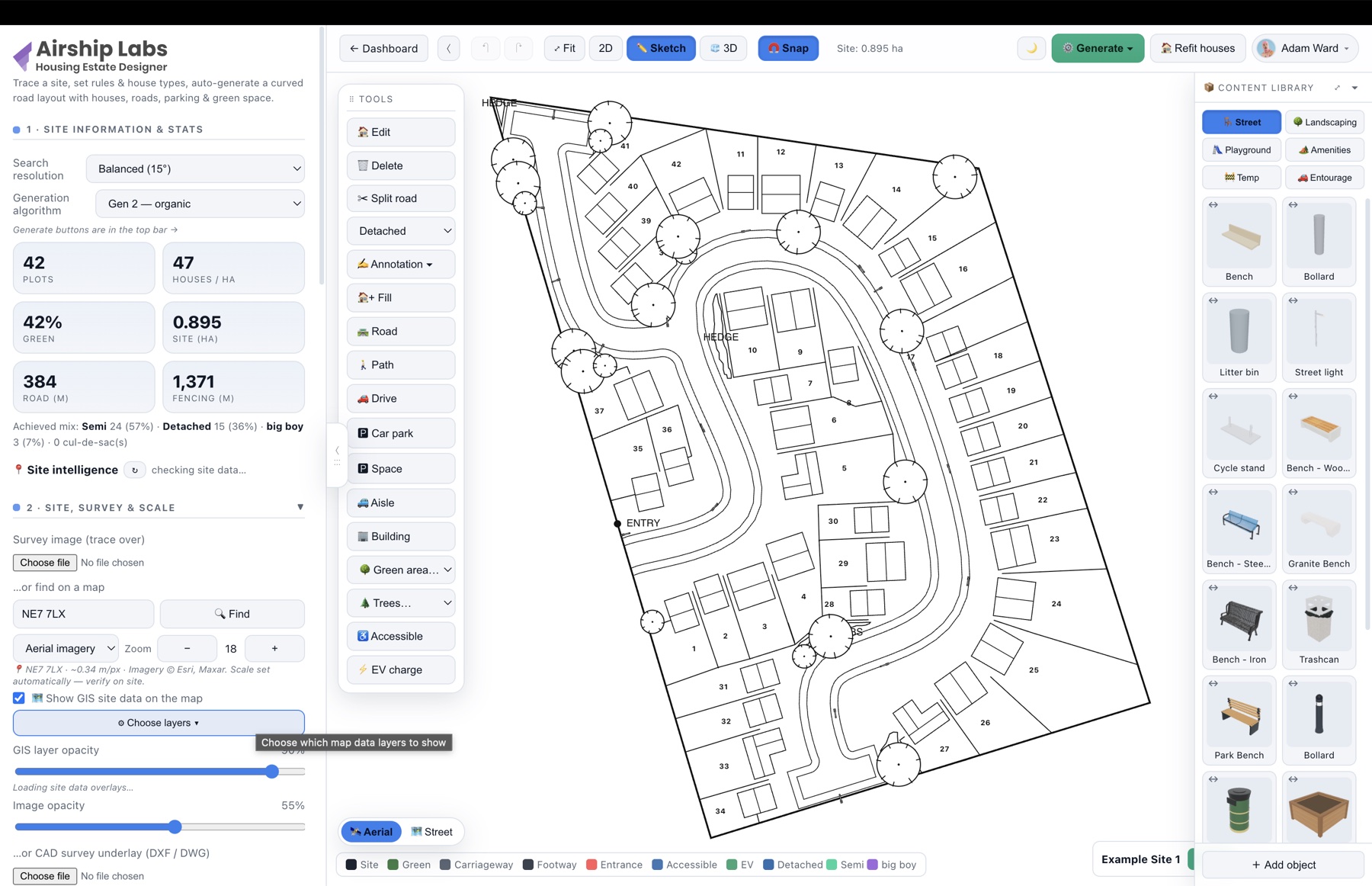
A black-and-white line drawing in a planning-application style — no map or GIS underlay, just the linework. Library objects render as grayscale plan symbols. Ideal for a clean issue drawing.
3D
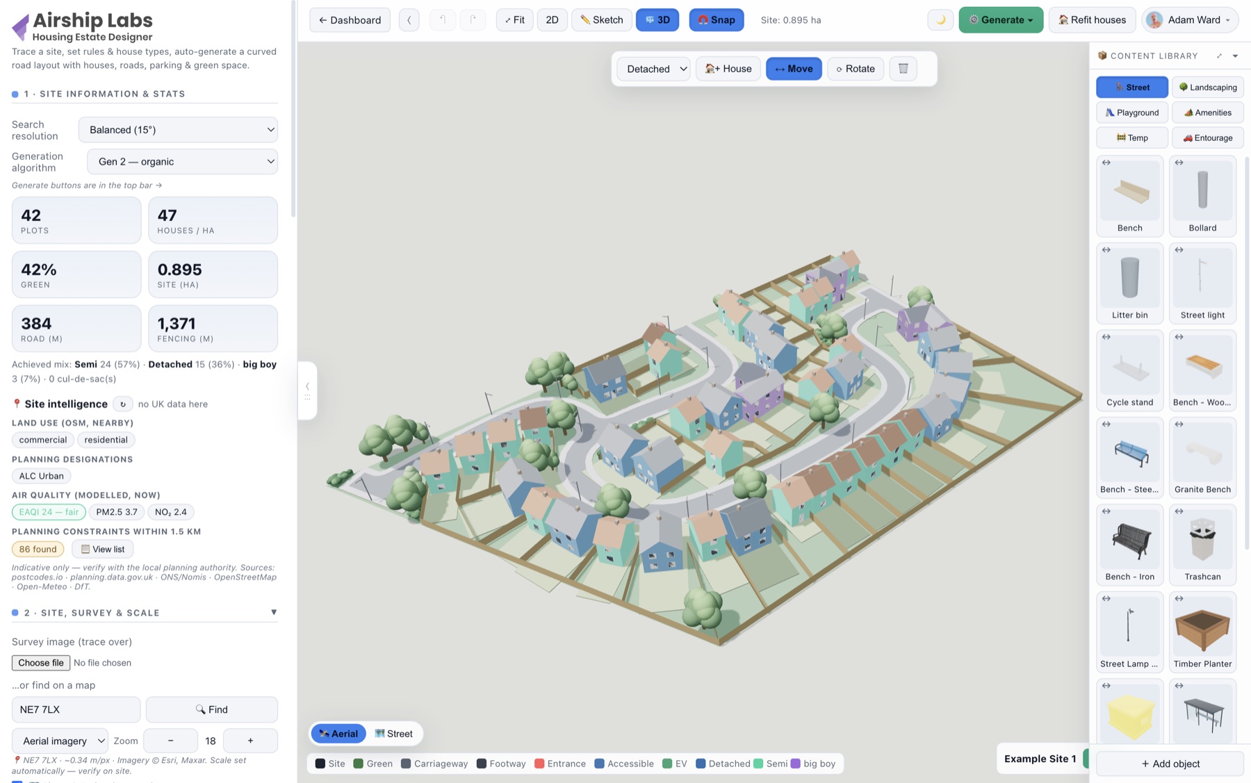
A full model you can orbit and walk — houses with roofs and windows, roads cut into the ground with kerbs, trees and street furniture. Drag to orbit, scroll to zoom. Use it to sense-check massing and for AI renders.
Tip. Press Fit (⤢) after switching views to re-centre. The 3D view is the source for AI photo renders.
Try it on your own site
Turn a boundary into an optimised UK layout in minutes — free to start.
Open the app →